CALIFORNIA, Sept. 10 (Our California Times) — NOAA is forecasting a 97% chance that El Niño will reach “Super El Niño” strength during the fall and winter and continue into early spring. The forecast comes as the Atlantic hurricane season reaches its climatological peak and the Pacific remains much more active.
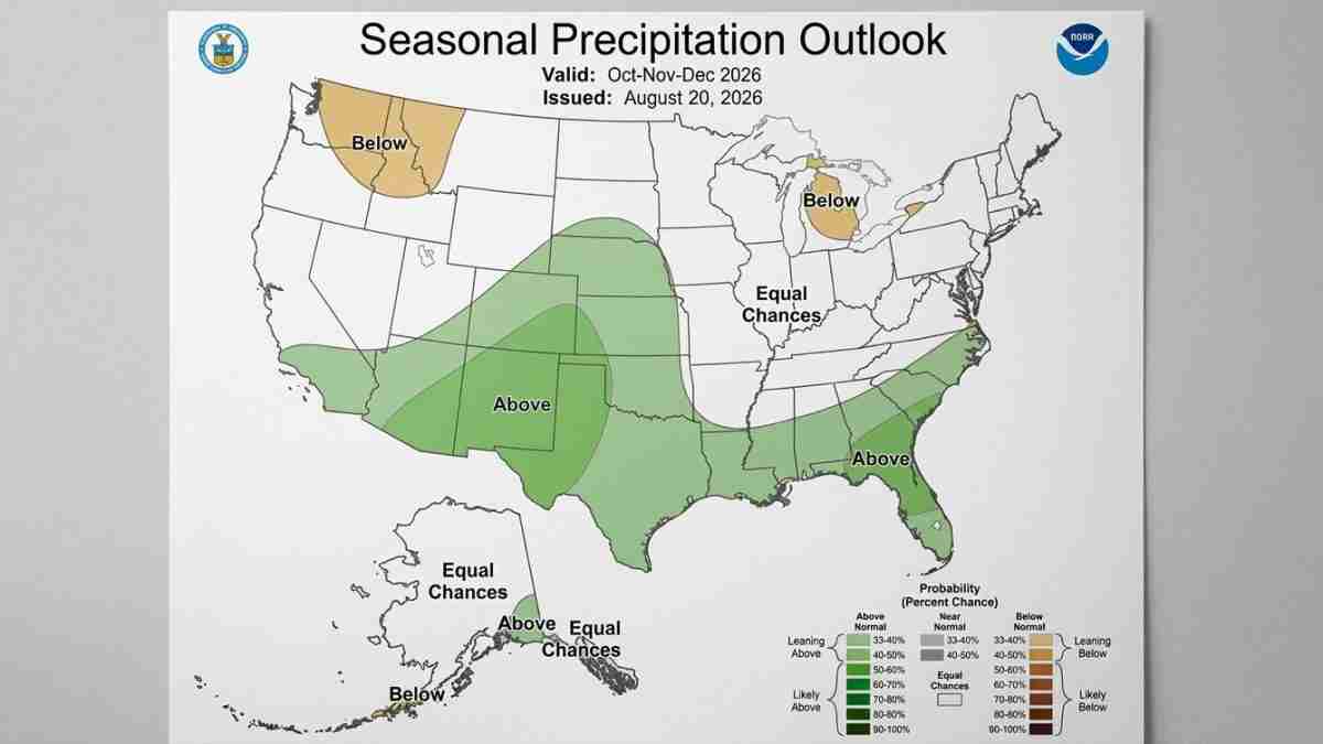
For California, the forecast is not an emergency warning. It is a seasonal outlook. Residents should monitor the National Weather Service and local emergency officials as winter approaches, especially from December through March, when Southern California could have a greater chance of above-average precipitation.
What NOAA is forecasting
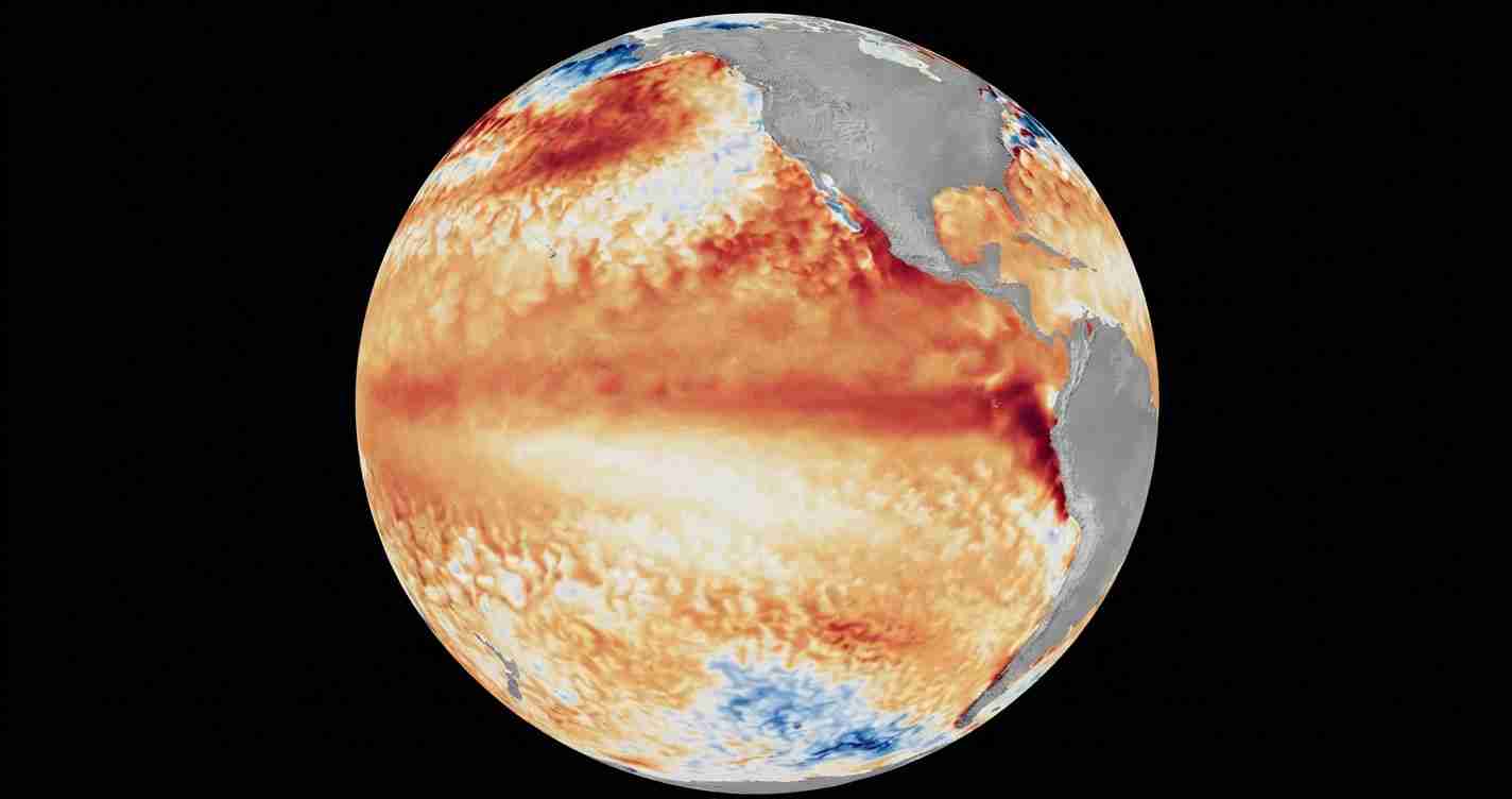
El Niño is a climate pattern marked by unusually warm ocean water in the central and eastern tropical Pacific. That warmer water can shift the jet stream and alter storm tracks around the world.
NOAA’s September outlook put the chance of a Super El Niño during fall and winter at 97%. The same outlook gave a 75% chance that the event could reach historic strength between October and December 2026.
The percentages have risen over several forecasts, but they describe different forecast periods and measures. NOAA’s August outlook gave a 90% chance that El Niño would rank among the strongest on record during fall and winter, up from 81% in July. Other reports used terms such as “very strong” or “strongest on record,” which are not necessarily identical categories.
A Super El Niño is commonly described as having equatorial Pacific water temperatures at least 2 degrees Celsius above average for three consecutive months. In July, monitored waters were reported at 1.4 degrees above average, so the supplied observations did not yet confirm that threshold had been reached.
Why the Atlantic is quiet
El Niño often produces stronger upper-level winds over the tropical Atlantic. Those winds, known as wind shear, can disrupt developing storms by tilting them or pulling them apart.
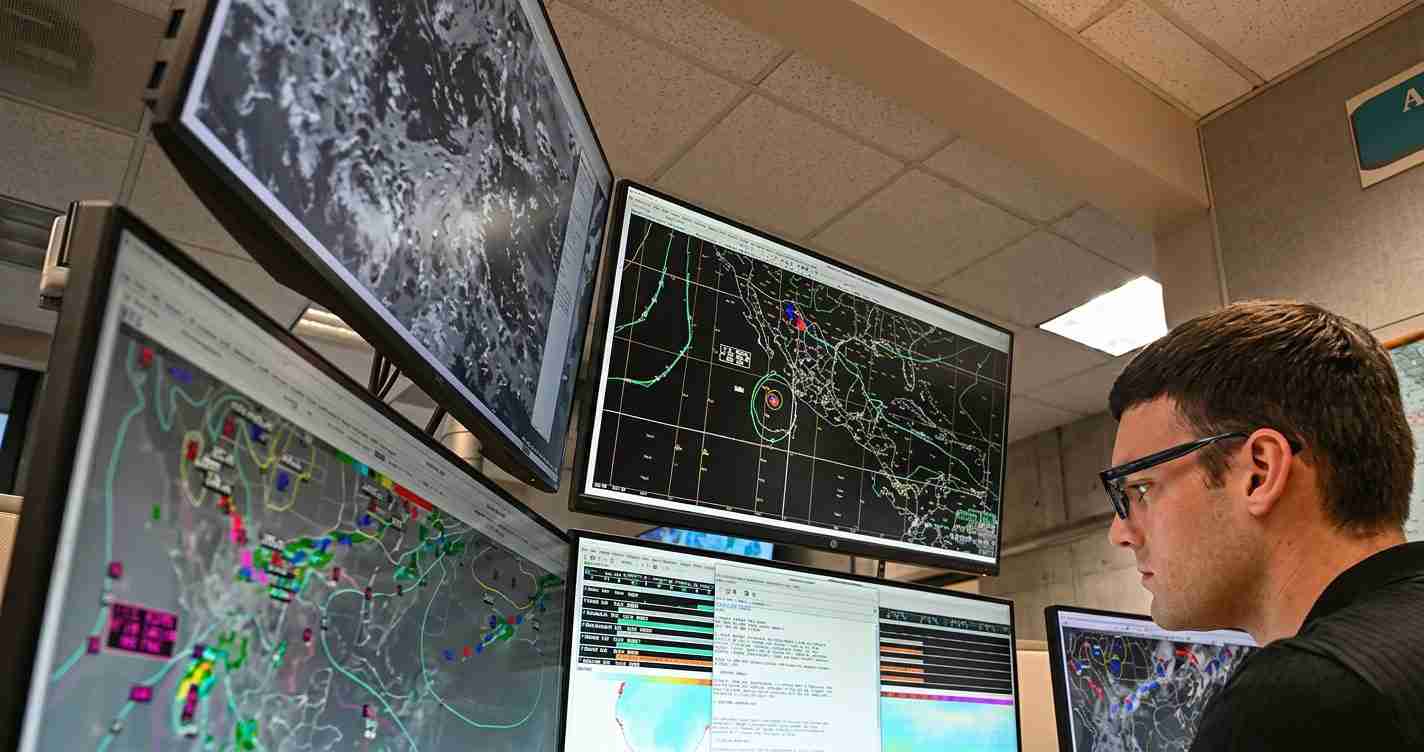
NOAA’s Climate Prediction Center said in a July 28 outlook that tropical-cyclone formation was unlikely over the Caribbean and central Atlantic “for the foreseeable future.” AccuWeather also said that a stronger El Niño would increase the chance of a less active end to the Atlantic season.
By Sept. 10, the Atlantic had produced five named storms and no hurricanes, according to figures reported by Fox Weather. The eastern and central Pacific had produced 16 named storms, including six hurricanes and three major hurricanes.
That pattern does not mean the Atlantic cannot produce a dangerous storm. A quiet season can still include a hurricane capable of causing major damage. It means the overall environment is less favorable for storm development, particularly in parts of the Atlantic where wind shear is stronger.
What it could mean for California
El Niño’s effects on California are most closely tied to the winter storm track. Alexander Gershunov, a research meteorologist at Scripps Institution of Oceanography at UC San Diego, said the state could have a higher likelihood of above-average precipitation, especially in Southern California.
The main period for potential effects is January through March, although increased precipitation could begin in December. The outlook does not provide a specific rainfall amount or identify a particular California community that will flood.
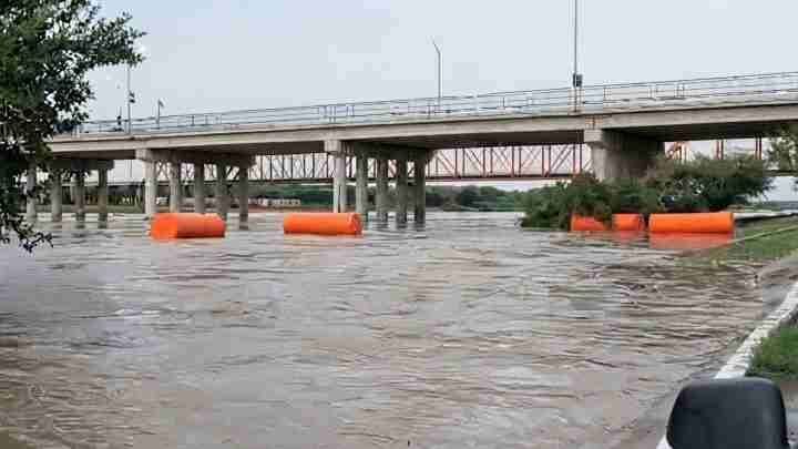
A stronger El Niño can also increase tropical activity in the eastern Pacific. Storms in that basin do not necessarily make landfall in California, but they can contribute to hazardous high surf along the coast. The pattern may also increase the risk of coastal flooding when high waves combine with elevated sea levels, according to reporting that cited Gershunov and NOAA forecaster Michelle L’Heureux.
Those are seasonal risks, not current warnings. The supplied outlooks do not include a California flood watch, coastal statement, emergency declaration or local forecast for a specific storm.
What residents should do now
There is no need to take action based on the seasonal forecast alone. Californians can prepare by checking local National Weather Service forecasts during individual storms, signing up for county or city emergency alerts, and reviewing evacuation routes if they live in a flood-prone or coastal area.
The most important information will come from short-term forecasts as storms form. El Niño changes the odds over a season; it does not determine the weather on any single day.
The World Meteorological Organization has said El Niño is expected to continue through fall and winter, with a peak near the end of 2026. NOAA forecasts will continue to refine the timing, strength and likely effects as new ocean and atmospheric data become available.